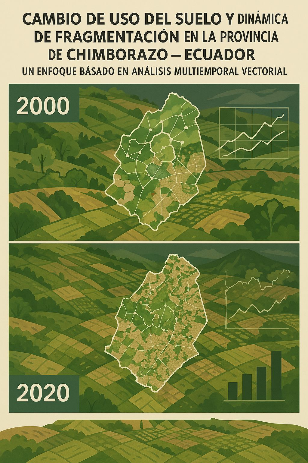
Cambio de uso del suelo y dinámica de fragmentación en la provincia de Chimborazo, Ecuador, años: 2000 - 2020: Un enfoque basado en análisis multitemporal vectorial
DOI:
https://doi.org/10.56124/sapientiae.v8i17.010Keywords:
cambio de uso de suelo, análisis multitemporal, geoinformación, fragmentación, ChimborazoAbstract
In land use studies, multitemporal analysis is a crucial technique to identify and quantify the transformations that the territory undergoes, which allows understanding the updated situation of the territory and serves as a decision-making tool. For this study, the province of Chimborazo - Ecuador was selected due to the extensive knowledge and data of this province. Vector geoinformation on land use was collected at a scale of 1:250000 from two seasons: 2000 to 2020, maintaining the same scale to standardize the relationship with the national object catalog in both seasons. Subsequently, a flow chart of cartographic inputs, geoprocesses and products was generated by consulting an algorithm to an artificial intelligence, which was subsequently developed in Python and QGIS to determine the area that underwent land use transformation within these two periods. Once the area of change was determined, it was crossed with an input at a scale of 1:25000 in order to know the state of land use at a higher resolution scale. Subsequently, with the use of this information, descriptive statistics were generated to present information on land use surfaces in 2021. In addition, a fragmentation analysis was carried out using a fragmentation coefficient based on the shape and surface variables to determine the level of fragmentation of the land covers. The areas of native forest and agricultural land were determined to be the predominant ones in the province, but the area with the greatest transformation in this 20-year period is the native forest, within which, by crossing with a higher resolution scale, the ecosystem that has suffered the greatest impact of transformation is the moorland. In addition, with the analysis of cover fragmentation, it has been determined that most of the covers are in a medium fragmentation range.
Downloads
References
Angel, S., Parent, J., & Civco, D. (2007). Urban sprawl metrics: ASPRS Annual Conference 2007: Identifying Geospatial Solutions. American Society for Photogrammetry and Remote Sensing - ASPRS Annual Conference 2007, 22 33.
Armenteras, D., Gast, F., & Villareal, H. (2003). Andean forest fragmentation and the representativeness of protected natural areas in the eastern Andes, Colombia. Biological Conservation, 113(2), 245-256. https://doi.org/10.1016/S0006-3207(02)00359-2
Bustamante Calderón, D. (2017). Escenario de cambio climático a nivel de subcuencas hidrográficas para el año 2050 de la provincia de Chimborazo- Ecuador. LA GRANJA. Revista de Ciencias de la Vida, 26(2), 15-27. https://doi.org/10.17163/lgr.n26.2017.02
Caranqui, J., Lozano, P., Reyes, J., Caranqui, J., Lozano, P., & Reyes, J. (2016). Composición y diversidad florística de los páramos en la Reserva de Producción de Fauna Chimborazo, Ecuador. Enfoque UTE, 7(1), 33-45. https://doi.org/10.29019/enfoqueute.v7n1.86
Cárcamo, A. M., & Ayuga, J. G. R. (2015). Análisis multitemporal mediante teledetección espacial y SIG del cambio de cobertura del suelo en el municipio de Danlí, El Paraíso, en los años 1987 -2011. Ciencias Espaciales, 8(2), Article 2. https://doi.org/10.5377/ce.v8i2.2081
Condori Luna, I. J., Loza Murguía, M., Mamani Pati, F., & Solíz Valdivia, H. (2018). Análisis multitemporal de la cobertura boscosa empleando la metodología de teledetección espacial y SIG en la sub-cuenca del río Coroico—Provincia Caranavi en los años 1989—2014. Journal of the Selva Andina Research Society, 9(1), 25-44.
Cuesta, F., Llambí, L. D., Huggel, C., Drenkhan, F., Gosling, W. D., Muriel, P., Jaramillo, R., & Tovar, C. (2019). New land in the Neotropics: A review of biotic community, ecosystem, and landscape transformations in the face of climate and glacier change. Regional Environmental Change, 19(6), 1623-1642. https://doi.org/10.1007/s10113-019-01499-3
Curran, D. R. (1997). Simple fragment size and shape distribution formulae for explosively fragmenting munitions. International Journal of Impact Engineering, 20(1), 197-208. https://doi.org/10.1016/S0734-743X(97)87493-3
De la Cruz Burgos, J. M., & Muñoz García, G. A. (2016). Análisis multitemporal de la cobertura vegetal y cambio de uso del suelo del área de influencia del programa de reforestación de la Federación Nacional de Cafeteros en el municipio de Popayán, Cauca. https://ridum.umanizales.edu.co/handle/20.500.12746/2807
Escanilla-Minchel, R., Alcayaga, H., Soto-Alvarez, M., Kinnard, C., & Urrutia, R. (2020). Evaluation of the Impact of Climate Change on Runoff Generation in an Andean Glacier Watershed. Water, 12(12), https://doi.org/10.3390/w12123547
García, V. J., Márquez, C. O., Rodríguez, M. V., Orozco, J. J., Aguilar, C. D., & Ríos, A. C. (2020). Páramo Ecosystems in Ecuador’s Southern Region: Conservation State and Restoration. Agronomy, 10(12), https://doi.org/10.3390/agronomy10121922
Greenberg, J. A., Kefauver, S. C., Stimson, H. C., Yeaton, C. J., & Ustin, S. L. (2005). Survival analysis of a neotropical rainforest using multitemporal satellite imagery. Remote Sensing of Environment, 96(2), 202-211. https://doi.org/10.1016/j.rse.2005.02.010
Hegarat-Mascle, S. L., Quesney, A., Vidal-Madjar, D., Taconet, O., Normand, M., & Loumagne, C. (2000). Land cover discrimination from multitemporal ERS images and multispectral Landsat images: A study case in an agricultural area in France. International Journal of Remote Sensing, 21(3), 435-456. https://doi.org/10.1080/014311600210678
Hervas Toctaquiza, E. V., Tiviano Milán, I. del C., & Carrión Mero, P. (2021). Geología aplicada para la gestión del agua en la comunidad de El Arenal – Volcán Chimborazo – Provincia de Bolívar [Thesis, ESPOL. FICT]. http://www.dspace.espol.edu.ec/handle/123456789/52336
Hobbs, R. J. (2001). Synergisms among Habitat Fragmentation, Livestock Grazing, and Biotic Invasions in Southwestern Australia. Conservation Biology, 15(6), 1522-1528. https://doi.org/10.1046/j.1523-1739.2001.01092.x
Huebla, C., & Alfonso, M. (2018). Estudio de la Diversidad Florística a diferente Gradiente Altitudinal en el Bosque Montano Alto Llucud, cantón Chambo, provincia de Chimborazo. http://repositorioslatinoamericanos.uchile.cl/handle/2250/1057650
Instituto Espacial Ecuatoriano. (2017). Catálogo de metadatos [metadata catalog]. Geoportal [Map]. http://www.ideportal.iee.gob.ec/descargas/
Lozano, P., Armas, A., Gualán, M., Guallpa, M., Lozano, P., Armas, A., Gualán, M., & Guallpa, M. (2018). Diversidad y composición florística del Bosque Los Búhos ubicado en la provincia de Chimborazo, Ecuador. Enfoque UTE, 9(3), 12-28. https://doi.org/10.29019/enfoqueute.v9n3.211
Ministerio del Ambiente de Ecuador. (2024). Geoportal IDE Ambiente: Mapa interactivo [Map]. http://ide.ambiente.gob.ec/mapainteractivo
Molina Benavides, R. A., Campos Gaona, R., Sánchez Guerrero, H., Giraldo Patiño, L., & Atzori, A. S. (2019). Sustainable Feedbacks of Colombian Paramos Involving Livestock, Agricultural Activities, and Sustainable Development Goals of the Agenda 2030. Systems, 7(4), Article 4. https://doi.org/10.3390/systems7040052
Muñoz, D. A., Rodríguez Montenegro, M., & Romero Hernández, M. (2009). Análisis multitemporal de cambios de uso del suelo y coberturas, en la microcuenca las minas, corregimiento de La Laguna, municipio de Pasto, departamento de Nariño. Revista de Ciencias Agrícolas, 26(1), 11-24.
Peyre, G., Osorio, D., François, R., & Anthelme, F. (2021). Mapping the páramo land-cover in the Northern Andes. International Journal of Remote Sensing, 42(20), 7777-7797. https://doi.org/10.1080/01431161.2021.1964709
QGIS Development Team. (2024). QGIS Geographic Information System (Version 3.24.5) [Software]. https://www.qgis.org
Sabogal, A. (2023). The Paramo Ecosystems. En A. Sabogal (Ed.), Ecosystem and Species Adaptations in the Andean-Amazonian Region: Traditional Land-Use Systems in Peru (pp. 105-130). Springer International Publishing. https://doi.org/10.1007/978-3-031-44385-5_10
Samaniego, P., Barba, D., Robin, C., Fornari, M., & Bernard, B. (2012). Eruptive history of Chimborazo volcano (Ecuador): A large, ice-capped and hazardous compound volcano in the Northern Andes. Journal of Volcanology and Geothermal Research, 221-222, 33-51. https://doi.org/10.1016/j.jvolgeores.2012.01.014
Siordia, C., & Fox, A. (2013). Public Use Microdata Area Fragmentation: Research and Policy Implications of Polygon Discontiguity. Spatial Demography, 1(1), 41-55. https://doi.org/10.1007/BF03354886
Thompson, J. B., Zurita-Arthos, L., Müller, F., Chimbolema, S., & Suárez, E. (2021). Land use change in the Ecuadorian páramo: The impact of expanding agriculture on soil carbon storage. Arctic, Antarctic, and Alpine Research, 53(1), 48-59. https://doi.org/10.1080/15230430.2021.1873055
Tulloch, A. I. T., Barnes, M. D., Ringma, J., Fuller, R. A., & Watson, J. E. M. (2016). Understanding the importance of small patches of habitat for conservation. Journal of Applied Ecology, 53(2), 418-429. https://doi.org/10.1111/1365-2664.12547
Turpo Cayo, E. Y., Borja, M. O., Espinoza-Villar, R., Moreno, N., Camargo, R., Almeida, C., Hopfgartner, K., Yarleque, C., & Souza, C. M. (2022). Mapping Three Decades of Changes in the Tropical Andean Glaciers Using Landsat Data Processed in the Earth Engine. Remote Sensing, 14(9), https://doi.org/10.3390/rs14091974
Vásquez, I. (2008). Conectividad Costa-Andes en Bosques Templados Lluviosos Sudamericanos. https://doi.org/10.13140/RG.2.2.24414.51528
Xiao, J., Shen, Y., Ge, J., Tateishi, R., Tang, C., Liang, Y., & Huang, Z. (2006). Evaluating urban expansion and land use change in Shijiazhuang, China, by using GIS and remote sensing. Landscape and Urban Planning, 75(1), 69-80. https://doi.org/10.1016/j.landurbplan.2004.12.005
Yan, Y., Jarvie, S., Zhang, Q., Zhang, S., Han, P., Liu, Q., & Liu, P. (2021). Small patches are hotspots for biodiversity conservation in fragmented landscapes. Ecological Indicators, 130, 108086. https://doi.org/10.1016/j.ecolind.2021.108086
Yánez-Cajo, D., Álvares Sánchez, A., & Oviedo Bayas, B. (2022). Species Distribution Models: Applications for forestry studies. NeuroQuantology, 20(6), 1536-1546. https://doi.org/doi:10.14704/nq.2022.20.6.NQ22148
Zavala Muñoz, M. C. (2016). Estudio multitemporal del cambio de uso del suelo para establecer mecanismos de defensa y conservación en la microcuenca del río Jubal en los años1991 al 2011. [bachelorThesis, Riobamba: Universidad Nacional de Chimborazo, 2016.]. http://dspace.unach.edu.ec/handle/51000/2975
Zhou, Q., Yu, Q., Liu, J., Wu, W., & Tang, H. (2017). Perspective of Chinese GF-1 high-resolution satellite data in agricultural remote sensing monitoring. Journal of Integrative Agriculture, 16(2), 242-251. https://doi.org/10.1016/S2095-3119(16)61479-X
Published
How to Cite
Issue
Section
License
Copyright (c) 2024 Revista Científica Multidisciplinaria SAPIENTIAE. ISSN: 2600-6030.

This work is licensed under a Creative Commons Attribution-NonCommercial-ShareAlike 4.0 International License.

2.jpg)